The Colorado Trail
August 8th-11th 2015
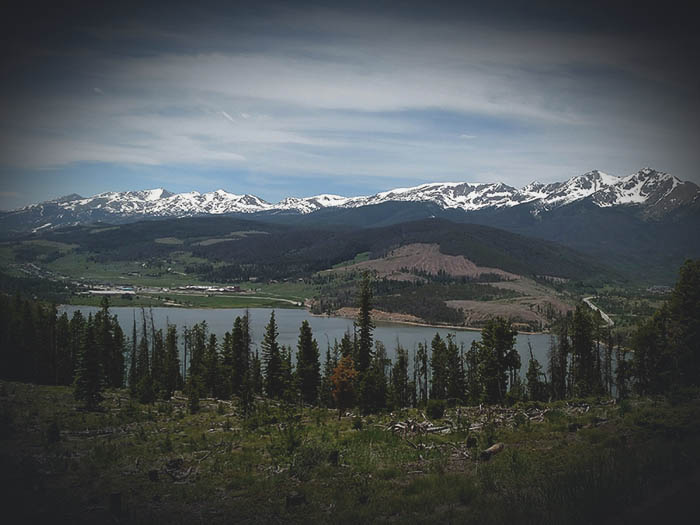
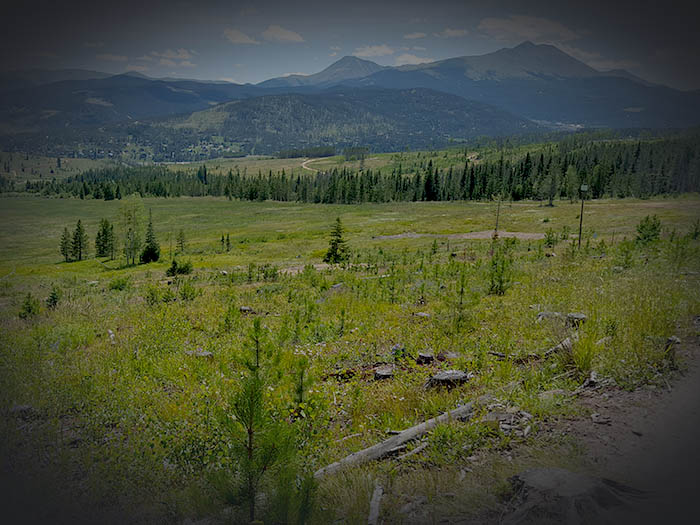
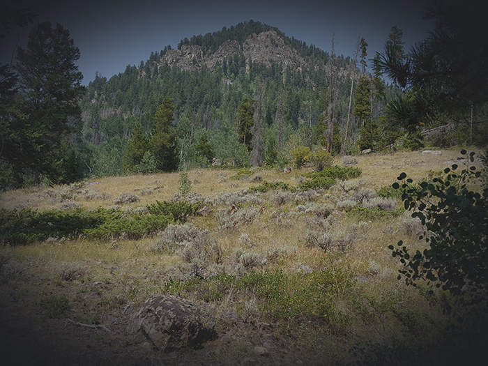
The Hike Ahead - About 2 hours into our hike. You can see Red Mountain in the far distance on the right with Bald Mountain and Mount Guyot in the closer distance in the center left.
August 9th 11:44 AM
Hiking over a Mountain - Accompanied with the person who led me to Summit County, we hiked up to the peak, partially along the ridge line and then hiked down the opposite side to the town of Copper Mountain. There, we caught the free county bus back to Frisco. We came across an epic campsite looking over Copper Mountain; unfortunately, I did not get any photos or locations of the camping spot.
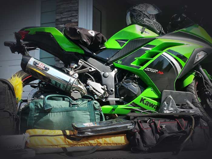
I had packed light as it was going to be about a two day hike. A three-liter water reservoir, hammock gear, steel bowl, some homemade trail mix (which becomes hot oatmeal in the mornings) and sleeping bag. I planned on refilling water at streams along the way, which I had located on Google Maps beforehand.
August 8th-11th. 2015
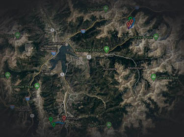
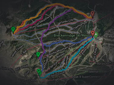
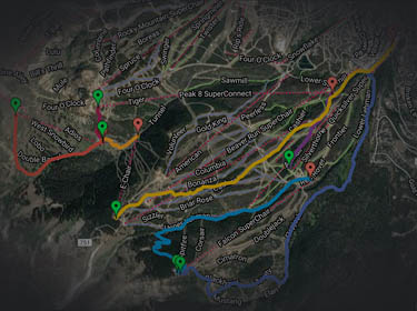
Colorado Trail - Breckenridge to Copper Mountain
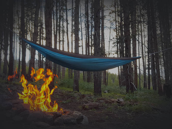
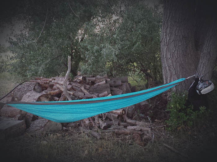
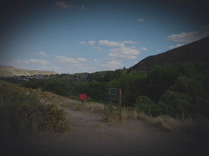
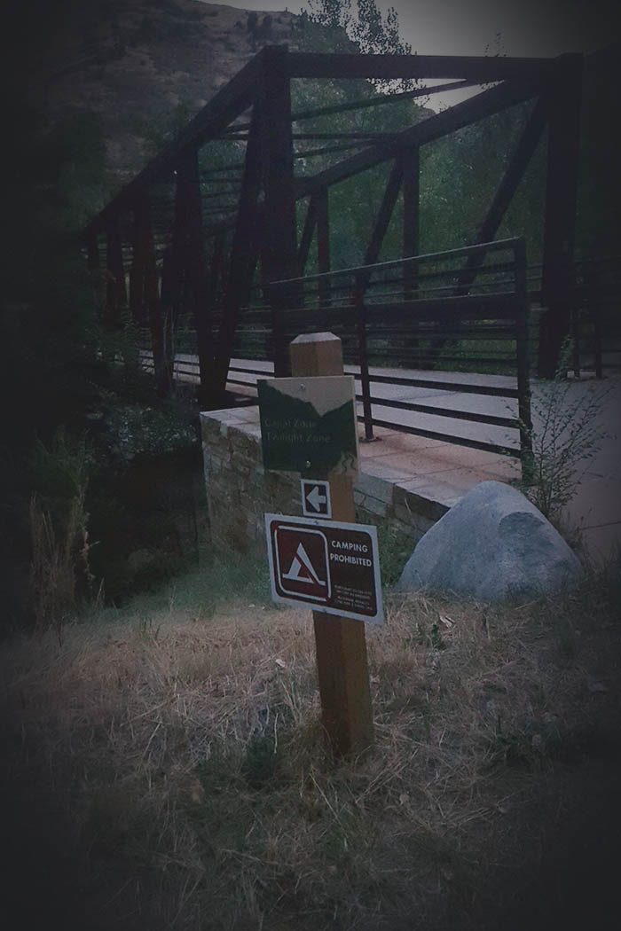
First Camp - There is a convenient spot in the natioanl forest area, a short walk from the bus stop, that is located immediately near a trail head. We camped here for the night to head out the next morning.
August 8th 7:44 PM

Waking Up - It feels great to wake up outdoors, surrounded by nature on a beautiful day. We make fire and I eat a helping of my trail mix mixed with hot water for oatmeal.
August 9th 8:09 AM
I would make custom trail mix with ingredients from Whole Foods. They have an entire section dedicated to it with all sorts of things you can add. I would use granola as a base, and when heated in water would make a great hot oatmeal breakfast.
August 9th 8:09 AM

It is easy to find plenty of dry fire wood, it is everywhere. But care must be taken as the area is so dry, it can be extrememly easy to start a forest fire with all the dry wood surrounding you. Summit County has fire alerts that tell you if you can make a fire and how large.
August 9th 8:33 AM

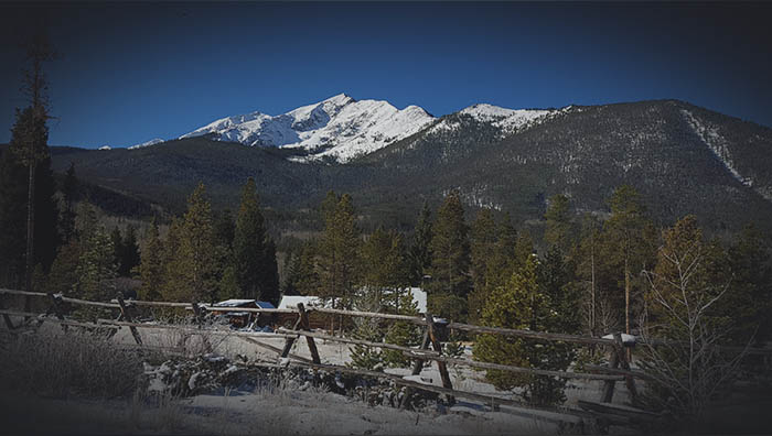
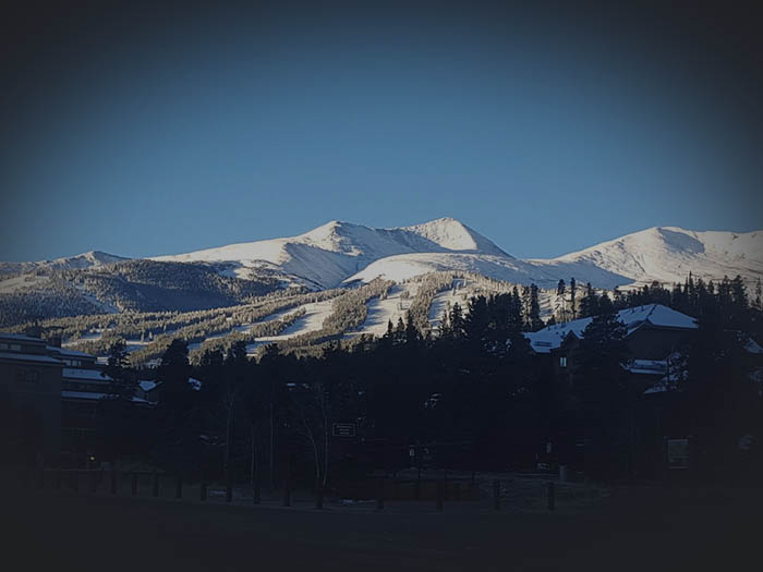
The Start - Hiking along the base, here you can see Peak 4 on the far left and Tenmile Peak on the middle left.
August 9th 10:44 AM

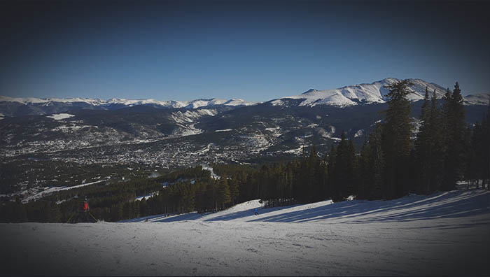
Looking down towards the town of Breckenridge with Bald Mountain and Mount Guyot on the horizon.
August 9th 11:33 AM
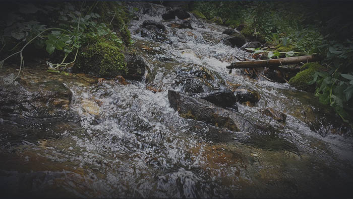
Mountain Streams - Fresh, clear, clean cold water. There were may streams along the hike to refill, and it all tasted amazing. So much better than tap water could ever be.
August 9th 1:08 PM

Ski Huts - We came along this small country ski hut. You can find these in remote areas for country skiers to stop, rest and warm up.
August 9th 2:34 PM

Close to Camp - This was the view shortly before we made camp near the base of the tree-line. With no tree cover soon, it was best to wait till morning to hike up to the summit and along the ridgeline.
August 9th 4:21 PM

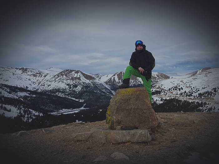
Summit View - An incredible view looking down both sides of the mountain from the summit ridgeline.
August 10th 2:17 PM

12,600 ft. - The highest altitude of the hike.
August 10th 2:18 PM
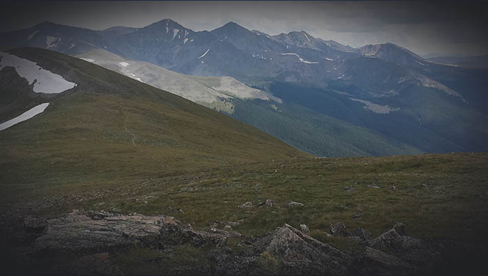
Walking the Line - About twenty minutes further along the ridgeline. A closer view of the peaks ahead.
August 10th 2:36 PM
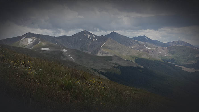
Pika - Part of the rabbit family, these small critters can be found in alpine rock croppings.
August 10th 3:13 PM

The Other Side - Looking along the other side of the mountain towards Copper Mountaain.
August 10th 3:14 PM
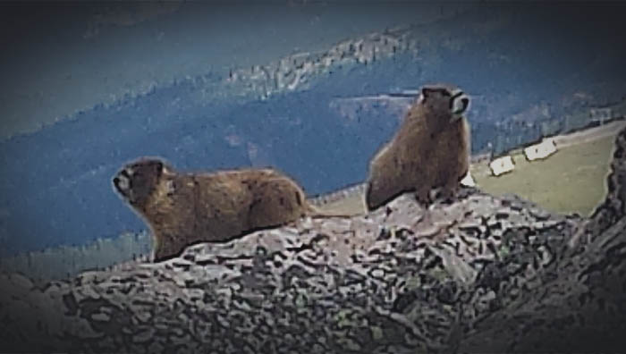
Marmot - I rarely saw wildlife my entire time in Summit County. Among the few were these Marmots I encountered at the summit. Marmots are among the largest of the squirrel family.
August 10th 2:35 PM
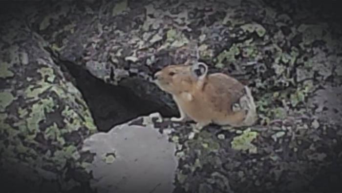
Pika - Part of the rabbit family, these small critters can be found in alpine rock croppings.
August 10th 2:37 PM

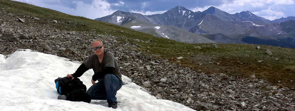
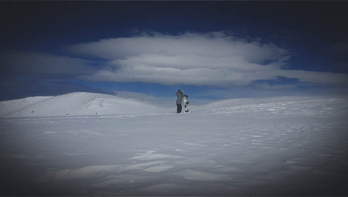
Summer Snow - It is strange at first to find yourself in snow in August.
August 10th 3:29 PM
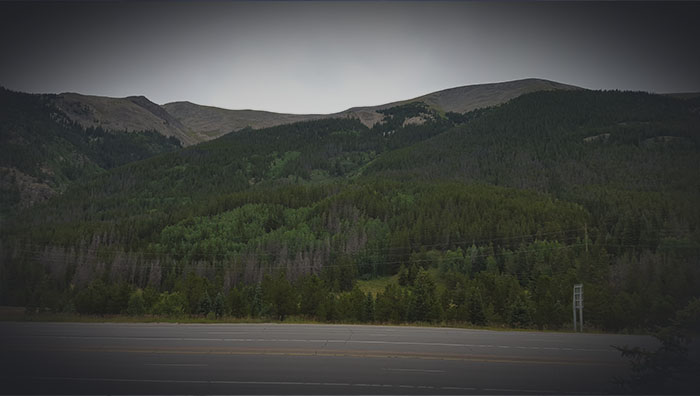
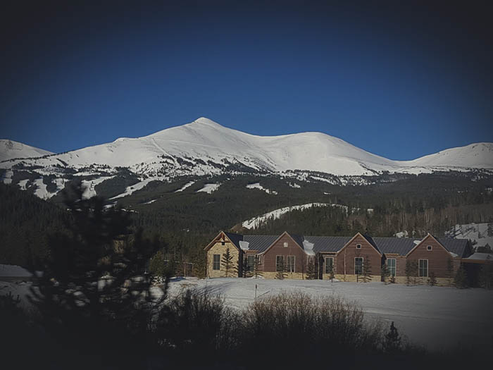
Looking Back - The end is here. Looking back up at the peak we had just hiked along and over. From here, we take the free county bus back to Frisco. We had camped out in an epic spot on a small cliff over looking the town. Unfortunately I don't have the photos.
August 11th 9:38 AM
Chief Mountain Hike
August 20th-21st, 2015

August 20th-21st. 2015
Chief Mountain Hike
Unexpected Free Solo - Once again, accompanied with the fellow who led me to Summit County, we hiked up Chief Mountain whith an incredible view of Frisco from the peak.
A much shorter hike with less altitude than our Colorado Trail venture, proved to be much more exciting...unexpectedly...with some skeeting, scrambling and down climbing.
When we headed down the mountain, we split up and took different routes. With a bad back, he decided to go the "easy" long route down the side of the mountain with a switchback pattern. I took the faster, more direct approach, of going down the face of the mountain.

I had looked at a satellite view on google maps beforehand to see what I was getting myself involved in. Seeing the cliff face, I noted where it started and planned on switching my direction to go down the side of the mountain before reaching it.
It was a great start to my downward hike, with thick forest giving me plenty of trees to assist a slow pace down steep terrain. As the trees thinned, there was a section of large boulders to scramble across and down.
After clearing the section of large boulders, the trees thinned out considerably and the terrain became loose and dry soil with a thin layer of dead pine needles. This gave me the perfect terrain to skeet down fast and efficiently.
Too fast and efficiently...
I was having such a great time skeeting down the slope that I almost didn't notice the ground disappearing and the edge getting closer.
As soon as I realized that I was about to slide right off the edge of the cliff, I immediately fell, spread out flat on my belly, trying desperately to stop my descent before reaching the edge. I have no idea how far it took for me to stop, but I eventually did, literally about two feet from going over.
I held my breath, knowing that the slightest movement would cause me to start sliding again, and began rolling my eyes looking for something to possibly reach for. Off to my left, there was a tiny little branchlet growing out from the ground. I couldn't reach it, but I could possibly make something of a "leap" to grab it.

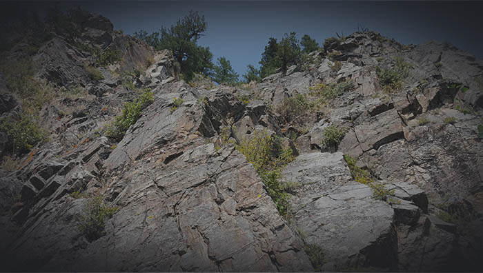
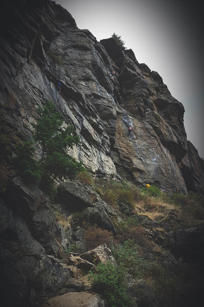
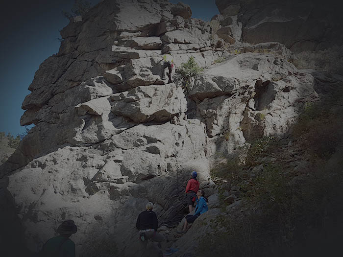
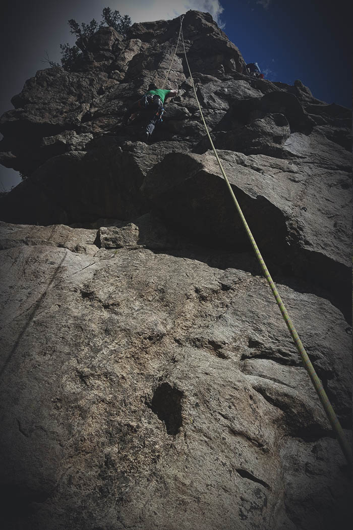
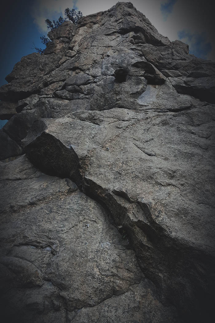
Looking back up from the bottom of the cliff after completing the climb..
Sure enough, as soon as I made my attempt to push myself to the side to get within reach, I began sliding rapidly. Fortunately I managed to grab the tiny branch and use it to pull myself to the rocks on the edge.
Well, now I was committed to down climbing this cliff face in my hiking boots, a large full backpack and no rope or gear. Climbing down, I would often find myself stuck, unable to climb back up or down, and would have to traverse to another spot just so I could climb back up to traverse to a spot where I could climb a little further down. Again, and again. Until finally I reached he bottom. This was probably one of the most exhilerating moments of my life that I can remember. Never have I felt more alive, even compared to skydiving. What a great and incredible experience!
Haus Rock
August 28th, 2015
August 28th. 2015
Haus Rock - Crag Hunting
Crag Hunting - I was checking out Haus Rock in preperation for a friend coming to climb. I looked up a few crags, and this looked like a good opportunity close by, so I decided to go hike around and see what it was like.
I ended up finding a few bolted routes, but not sure I had found the actual crag location I had read about. It did turn out to be a fantastic hike, with great scrambling across a field of giant boulders and some great camping spots.
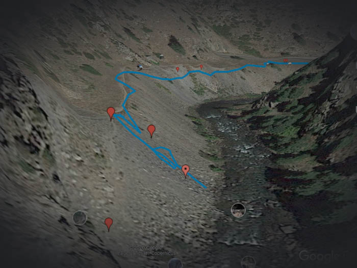
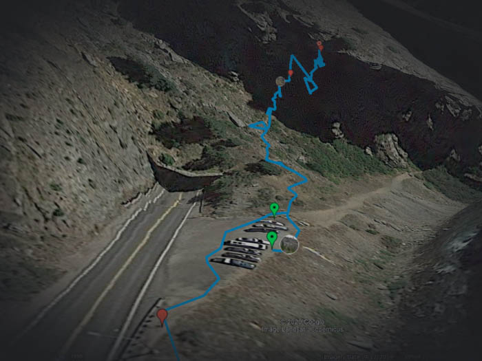
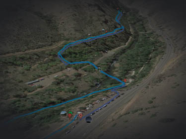
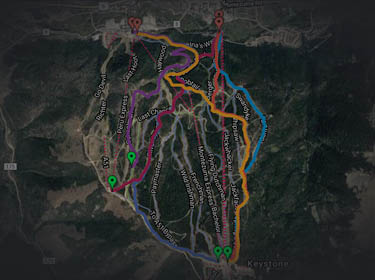
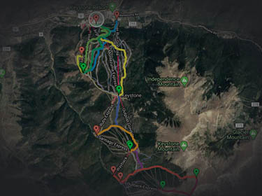
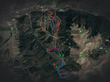
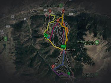
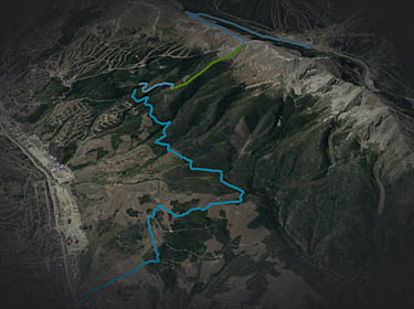
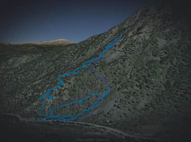
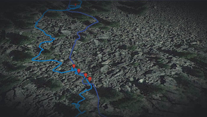
Two routes were taken, the lighter blue route was the way I hiked up, and the darker blue was the route I ended up (by accident) returning. As you can tell from the lighter blue route, I noticed I was going the wrong way, hiked back and went up another route.

The green markers are where I was able to find some bolts for climbing, accessible to setup a top rope if desired. The purple markers are a couple spots for putting a tent or hammock and the orange markers are excellent camping spots.

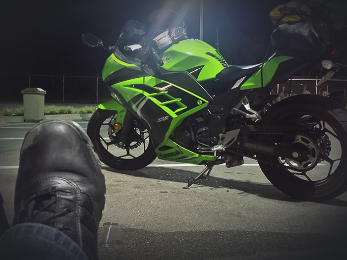
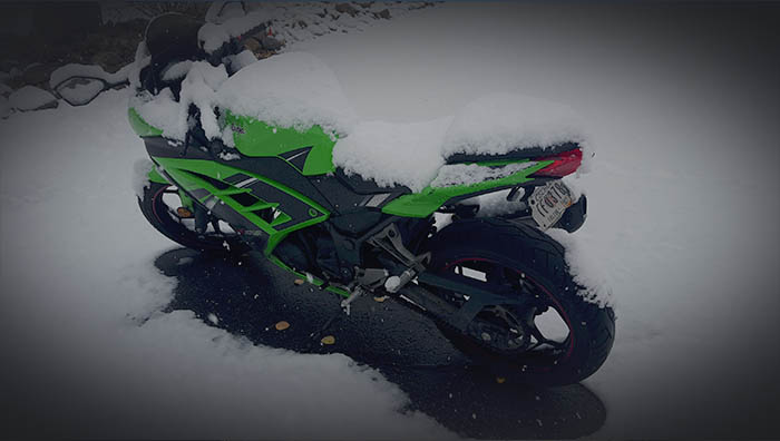
Haus Rock - At the base parking spot looking up. You can see my motorcycle in the parking space across the street.
August 28th 12:14 PM
The Path - At some points the path will be un-clear..
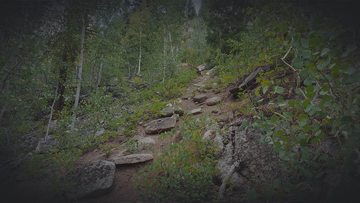
Other sections will be very clear. If you lose the path, try to continue on for a couple minutes to find a clear path, otherwise backtrack and try anoter route till you find a clear path again.
August 28th 1:04 PM
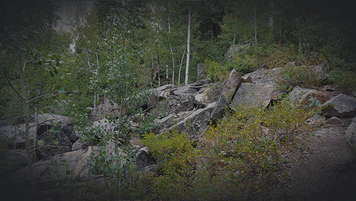
The Path - You can see a tiny bit of the path on the right turning the corner with a pile of large boulders to your left.
August 28th 1:06 PM

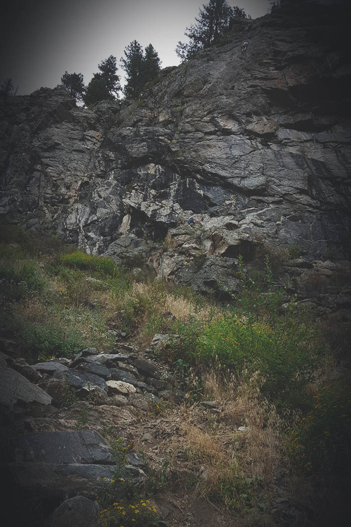
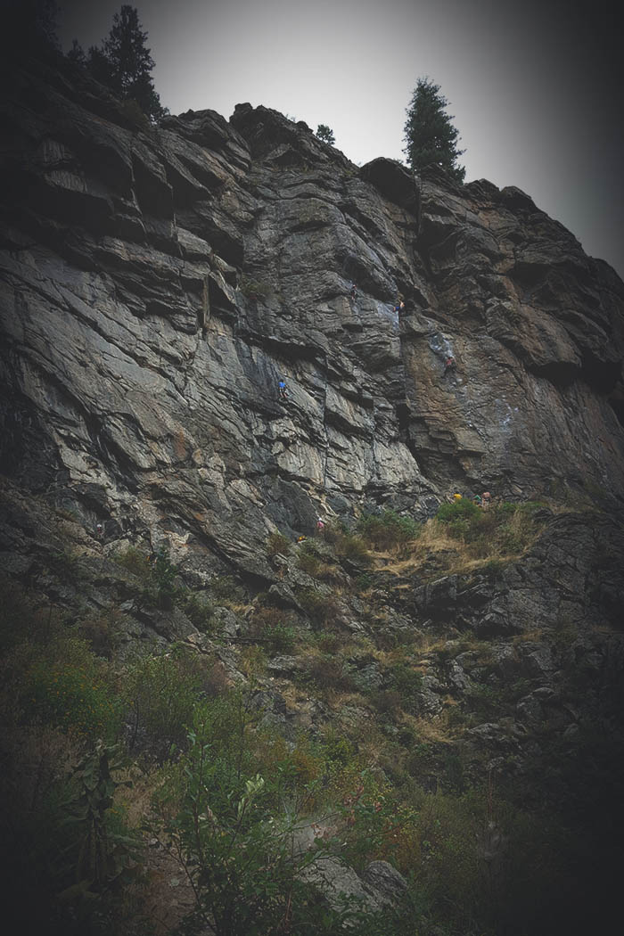
Markers - This section of the hike is where I first encountered bolted rock. The path works its way around and up to the top of the section of rock with more bolts great for setting up top-ropes.
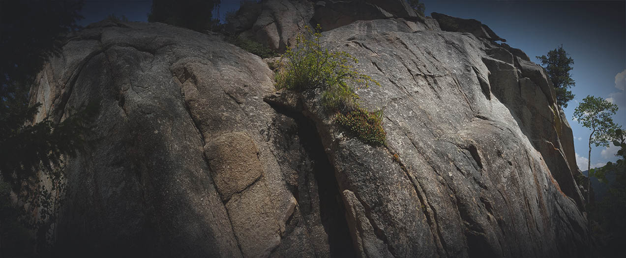
Bolted Rock - They are hard to spot in photo, but there are bolts on this rock.
August 28th 1:10 PM

The Path - The path will continue up along side the rock face.
August 28th 1:10 PM

The path should be failry clear most of the way.
August 28th 1:14 PM
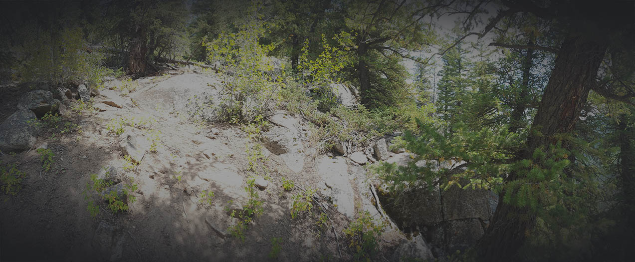
Eventually you will come to a fairly open section where you can veer off the path and find yourself on the top section of the small cliff. If you wonder around in this area, you will find the edge and bolts for anchors.
August 28th 1:23 PM
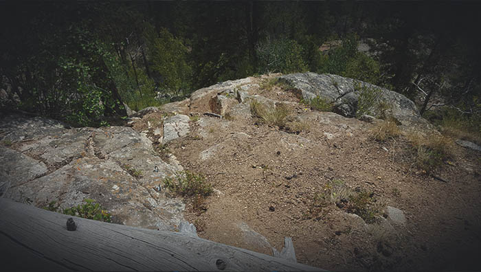
Top-rope Bolts 01 - Cliff edge with easy to access bolts to setup anchors.
August 28th 1:38 PM
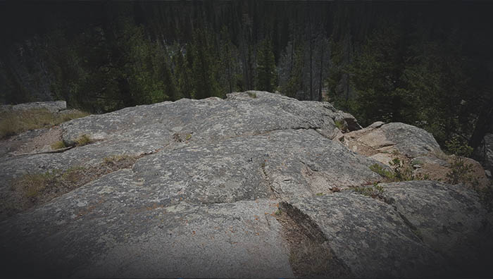
Top-rope Bolts 02 - Cliff edge with easy to access bolts to setup anchors.
August 28th 1:38 PM
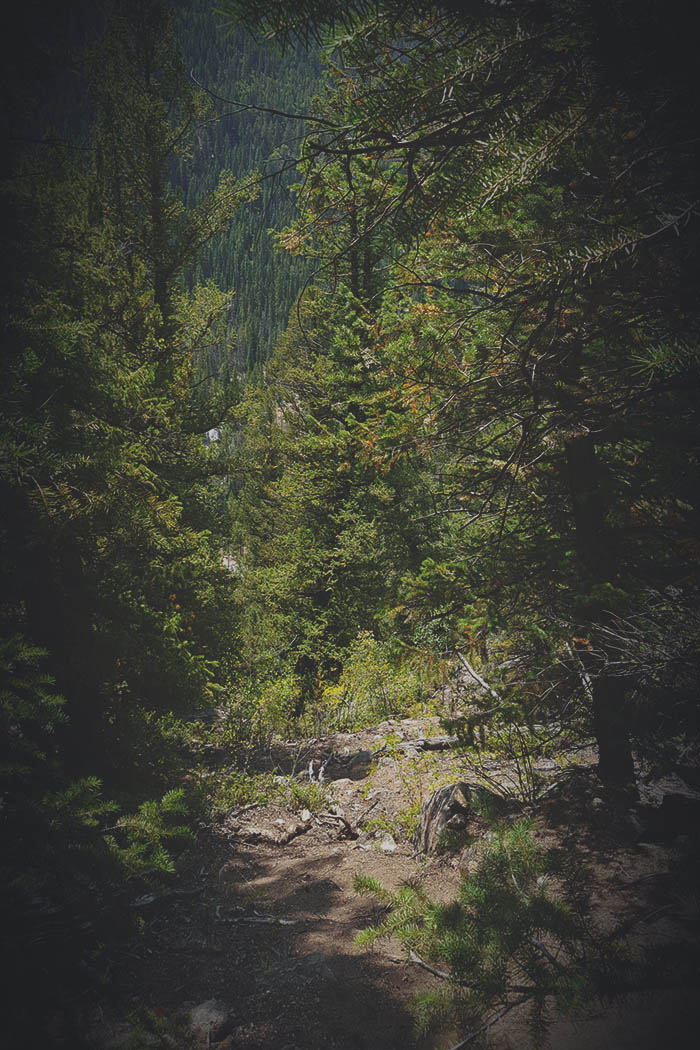
Path leading upwards.
August 28th 1:26 PM
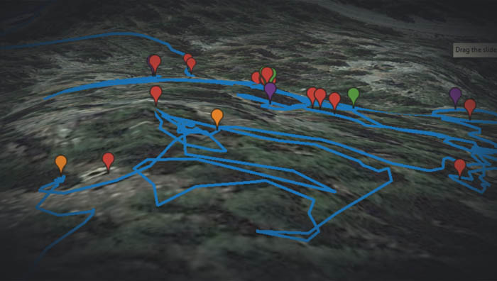
Head back to the path and follow it up and to the right. You will find another somewhat clear section to wonder through. Here is where you will find two great camping spots right next to each other. The image shows the campsites marked in orange and looking down at the path and previous anchor bolts below.

Path leading towards edge and campsites.
August 28th 2:10 PM

The View - The view from the area at the first two campsites.
August 28th 2:13 PM
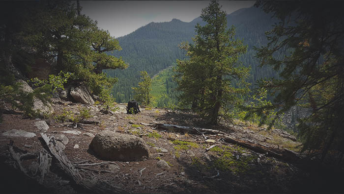
Campsite One - One of the first campsites, is located next to another larger campsite.
August 28th 2:06 PM
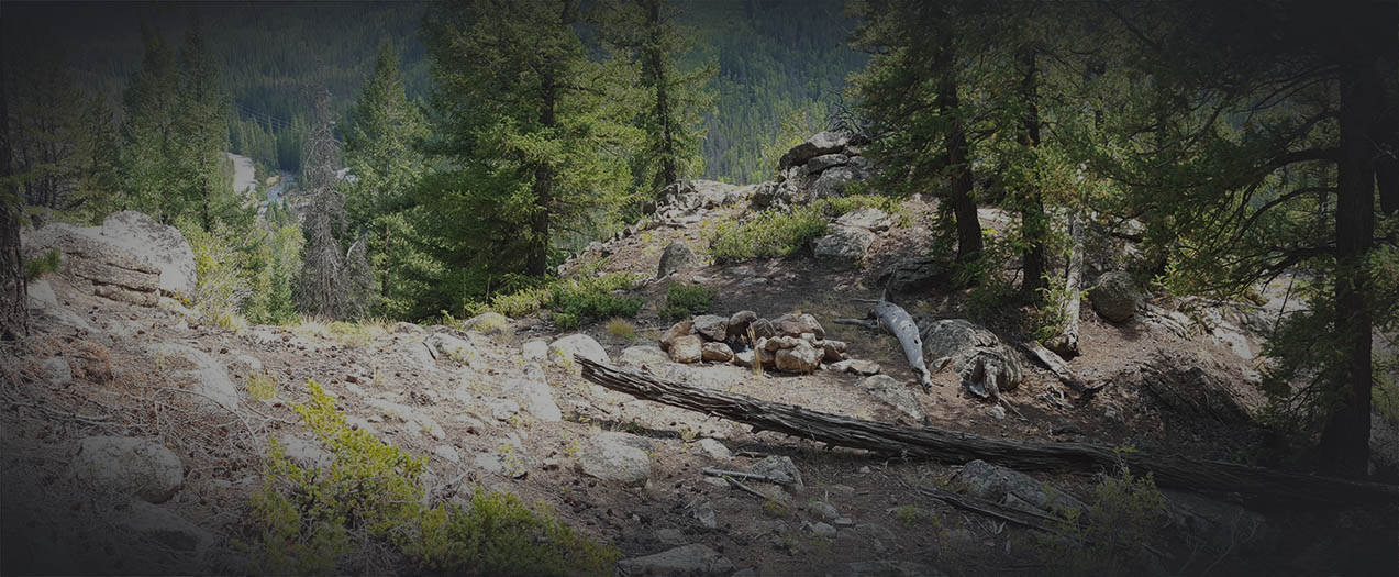
Campsite Two - The second campsite which is located next to the first.
August 28th 2:16 PM
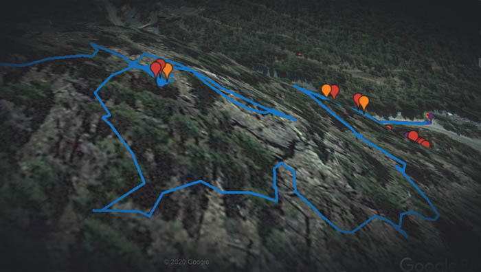
Markers - Looking down the path from another rest stop and campsite above the previous. The lower two orange markers are the previous campsites, the one higher up is where you will find a great lookout view with a campsite.
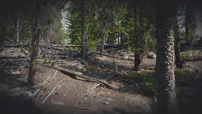
The Path - You can follow a path along the right-hand side up to the higher rest spot and camp site.
August 28th 2:34 PM
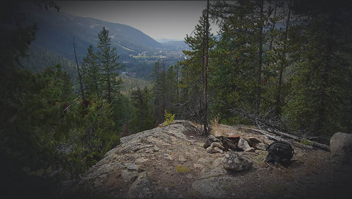
Campsite Three - Close-up of the third good campsite and a great view.
August 28th 2:37 PM

The View - Close-up of the rest spot with a great view, just to the side of the campsite.
August 28th 2:38 PM

The Complete View - Here you can see both the campsite and the lookout rest area.
August 28th 2:37 PM
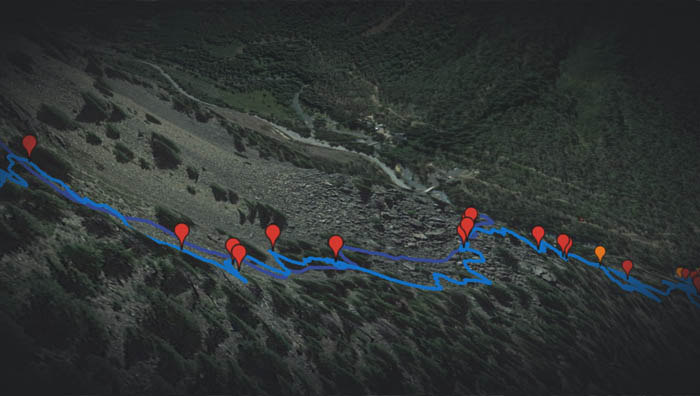
Markers - Looking down the mountain from atop the section of large boulders. There is a huge field of large boulders to scramble across and a path of smaller boulders to scramble up higher.
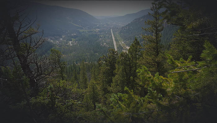
View from Path - As you hike further up, there are some great viewpoints looking down towards the Keystone Ski Resort area.
August 28th 3:04 PM
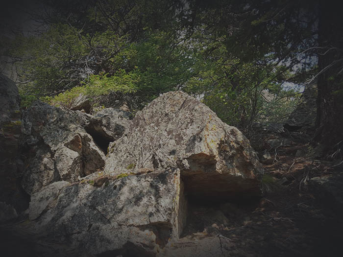
Path Upward - A clear path will lead upward to the area with boulders.
August 28th 3:13 PM

Scrambling Up Ahead - Looking up and over from the path, you can see the section of large and small boulders to scramble leading up the mountain.
August 28th 3:17 PM

Boulders and More Boulders - A view of the section of boulders to scramble.
August 28th 3:23 PM
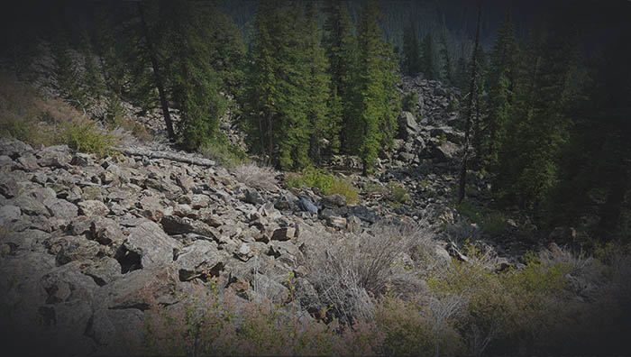
Lookin Down - You can see the section of boulders and rubble I scrambled up to this part of the mountain.
August 28th 3:38 PM
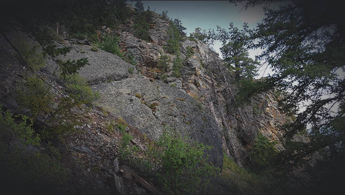
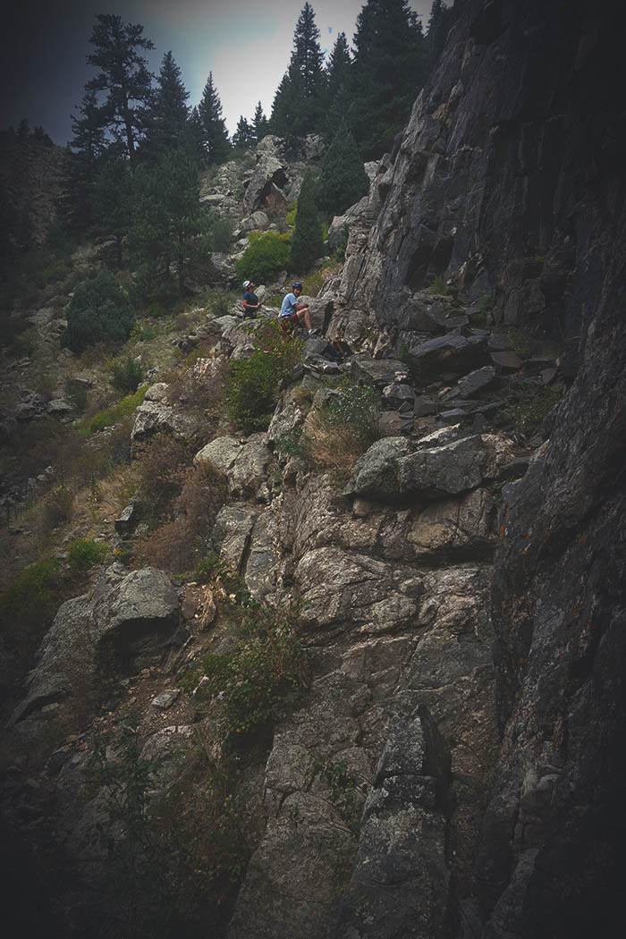
Bottom of Small Cliff - After reaching the top end of the rubble, off to the right I came across a small cliff. I backtracked and went slightly left to go up and around the small cliff.
August 28th 4:03 PM
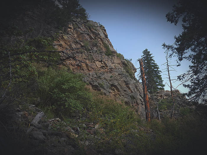
Small Cliff - Looking at the cliff from the left side hike hiked up and around.
August 28th 3:50 PM

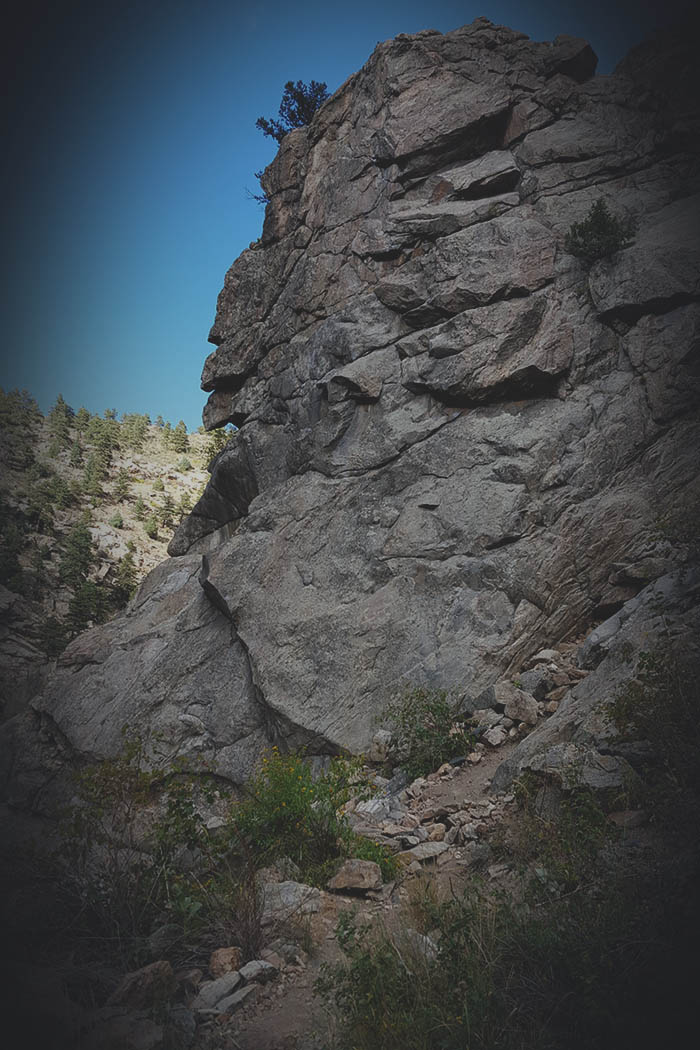
What Do You See? - Just after passing the small cliff on the left, I came across a large and interestingly shaped boulder jutting out of the ground. Looked like some kind of animal head sticking up. Also a great bouldering boulder.
August 28th 3:55 PM
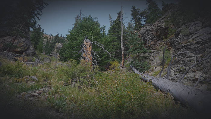
Not a clear Path - At this point there is not a clear path, I just had to make my way through the easiest route I found.
August 28th 4:10 PM
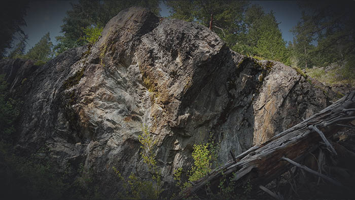
Nose Job - Came across another interesting boulder, looks to me like someone could use a nose job?
August 28th 4:23 PM
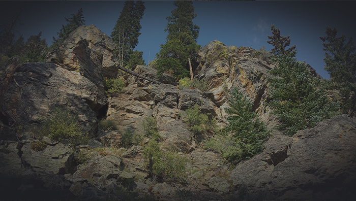
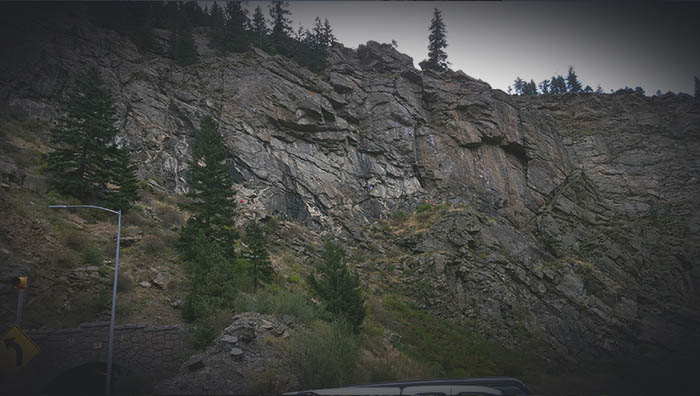
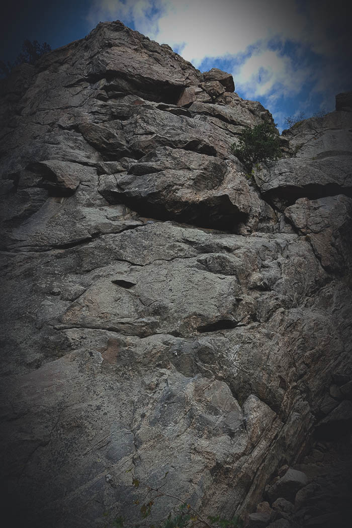
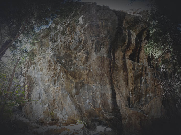
Final Obstacle - Came up to a large cliff face that ran a good length. It was getting late and I did not have camping gear with me so had to head back down. It would seem as though traversing left along base of cliff I could have reached an area I could hike further up to the top of the cliff.
August 28th 4:49 PM
